


Long before Cleveland County took shape and Norman and Lexington were fixed on the map, a small Black settlement stood along the Canadian River near Chouteau Creek. Surveyors recorded cabins there. Mapmakers labeled it. Residents farmed and worked along the frontier corridor in the late 19th century. Then, as white settlement expanded, the community faded from maps and memory.
“When we see something like that on a map, it tells us there was enough of a presence for someone to mark it,” said Kalenda Eaton, professor of African and African-American studies at the University of Oklahoma. “But it doesn’t automatically tell us what kind of settlement it was.”
Research drawing on historic maps, local histories and archival records suggests the settlement was part of a broader pattern of Black communities that formed along frontier trade and cattle routes in Indian Territory. Some of those communities endured. Others, including the one along the Canadian River near Chouteau Creek, appear to have been absorbed, displaced or forced out as white settlement accelerated after the Land Run of 1889.
Still, a Black settlement along the Canadian River appears on multiple territorial-era maps and in later local histories.
Genealogist and historian Angela Walton-Raji, who has documented early Black communities across Indian Territory and Oklahoma, says such map labels typically reflected clusters of families who farmed, worked and built homes in a particular area, even without a platted town or official records.
“Somewhere in this vicinity I can say that there was a community of people of African descent that lived for almost three decades near the banks of the Canadian River,” Walton-Raji wrote in a post on her African-Native American Genealogy Blog. “Though this was a community that was short lived, it was there, nevertheless.”
‘Only the maps show they were there’

The origins of the settlement shown on maps above appear to trace back to a short-lived frontier trading post along a corridor later known as the Arbuckle Trail, a route that linked cattle drives and trading networks across Indian Territory in the late 19th century. Running roughly along a bend in the Canadian River in this area, the trail carried ranchers, traders and laborers moving between Texas and the Chickasaw and Choctaw nations.
The trading post operated for only a few years before being abandoned, but the site did not sit empty for long. Local accounts indicate that a nearby Native American community used the location for a time as a place for exchange and supply. As the cattle trade expanded and ranching operations moved into the region in the late 19th century, Black cowboys and laborers working along the trail began to settle nearby, building homes along the river bottom and forming a small but stable community.
Local historian John Womack Jr., writing about the region’s early settlement patterns, notes that Freedmen and other Black workers frequently found employment along river crossings, cattle routes and trading corridors in Indian Territory. Small, informal communities sometimes formed near these sites, where work was steady and access to water and transportation made settlement practical.
Territorial-era records and later local histories describe Black families living in small clusters near the site, farming, working for nearby ranches and building homes along the river bottom. Like many early Black settlements in what would become Oklahoma, the community appears to have been informal and rural, with cabins spread across farmland.
The location offered water, grazing land and access to work along the trail, making it a practical place for families to settle. Over time, cabins and small farms spread across the river bottom, linking the community to nearby ranches and settlements.
The community appears to have endured for several decades. Territorial maps from the late 1800s continued to mark the site as a “Negro Settlement,” indicating that surveyors recognized it as a distinct cluster of Black residents even without a formally platted town.
As white settlement expanded in the years surrounding the 1889 Land Run and the opening of additional lands, Black communities in central Oklahoma faced mounting pressure. Contemporary accounts and later histories describe intimidation, economic exclusion and warnings to leave in parts of Cleveland County. Some families moved into nearby towns. Others left the area entirely. Over time, the settlement marked on early maps faded from both official records and local memory.
“There was so much chaos, for lack of a better way of putting it, around land ownership and settlement after 1889,” Eaton said.
That upheaval affected communities across the region, but settlements without formal land titles or political protection were especially vulnerable to displacement.
RELATED
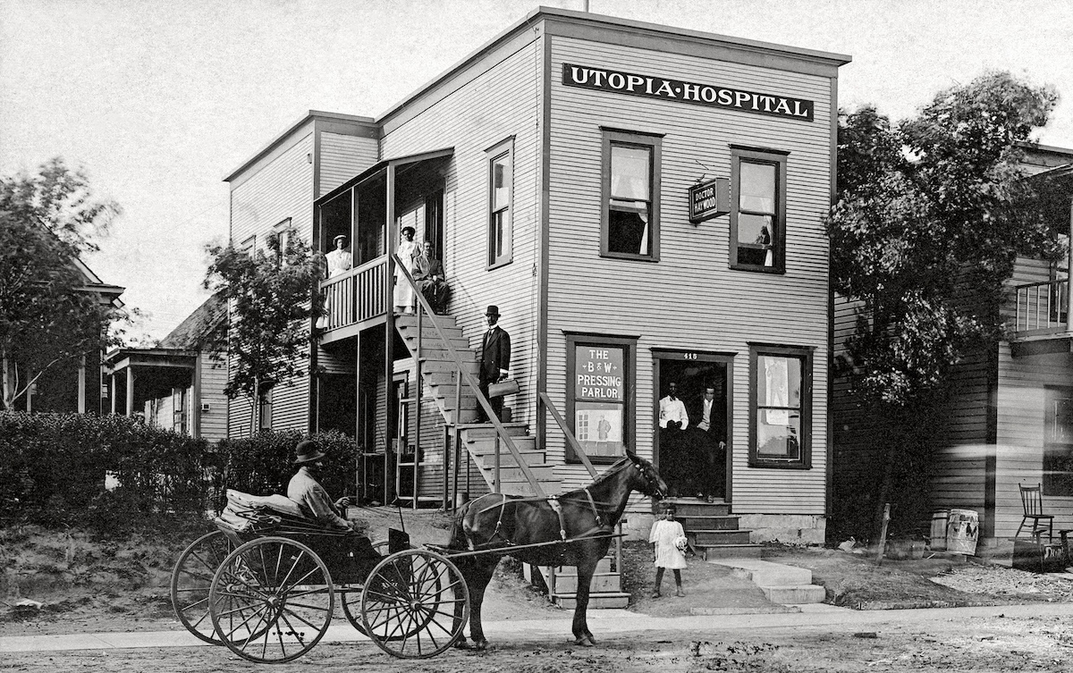
When segregation limited care, Black hospitals filled gaps, served ‘as community hubs’ by Stephen A. Martin
Some residents of the settlement near Chouteau Creek moved into nearby towns, including Lexington, where a small Black community took shape in the late territorial period. That community, too, experienced disruption in the years leading up to statehood as racial tensions intensified and opportunities narrowed.
Other families moved farther east, toward communities that proved more durable. In parts of eastern Oklahoma, Black towns and settlements with stronger land ownership or institutional support persisted into the statehood era and beyond.
The community along the Canadian River near Chouteau Creek, by contrast, gradually disappeared. By the early 20th century, the label that had appeared on territorial maps was gone. The cabins and farms that once marked the settlement were absorbed into surrounding landholdings or abandoned. Without a formal townsite, church records or extensive property filings, the community left only scattered traces in maps, survey notes and local memory.
Eaton said the disappearance of such places does not mean they were insignificant.
“There are so many examples, experiences, people who have kind of fallen into the cracks,” she said. “They all could tell us something about the lives that were lived.”
Today, the site near Chouteau Creek bears few visible signs of the settlement that once stood there. But the maps that marked it and the accounts that describe it offer a reminder of a community that formed along a frontier corridor, flourished for a time and then, like many others in early Oklahoma, was pushed to the margins of the historical record.
As Walton-Raji wrote, “Only the maps show they were there.”


